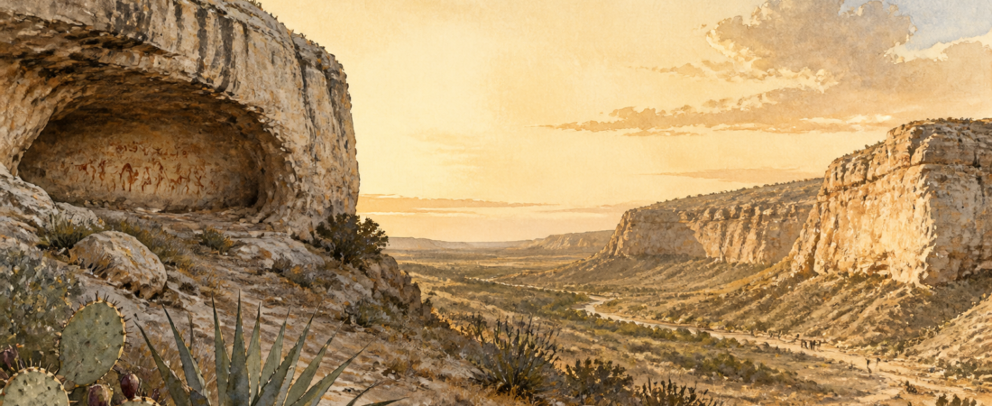
Long before Sanderson became a railroad town in 1882, the rugged land around present-day Sanderson and Terrell County was part of a much older human landscape. For thousands of years, Indigenous people traveled, camped, hunted, gathered food, made tools, raised families, buried their dead, and created enduring art in the canyons, caves, and desert country of the Lower Pecos and Trans-Pecos.
The story does not begin with one single tribe. Archaeology shows that many generations of Indigenous hunter-gatherer communities used this region over a very long period. Named peoples such as the Mescalero Apache appear much later in the historical record. The broader Lower Pecos region preserves evidence of human life stretching back at least 13,000 years.
Before Sanderson: A Long Indigenous History
Ancient people did not simply wander through an empty desert. They moved seasonally through a homeland they knew in detail: where water could be found, when plants were ready to harvest, where animals traveled, which shelters offered protection, and which routes connected springs, canyons, mountains, and rivers.
For people living in and traveling through the Sanderson area, the land offered several essentials:
- Water: Springs, seasonal drainages, and access to the wider Pecos and Rio Grande watershed.
- Food: Deer, rabbits, small game, seeds, fruits, mesquite beans, prickly pear, agave, sotol, and other desert plants.
- Shelter: Rock overhangs, caves, and canyon walls that provided shade and protection from weather.
- Materials: Stone for tools, wood for fuel, and rocks for cooking.
- Travel routes: Canyons and drainages that linked resources across the Trans-Pecos.
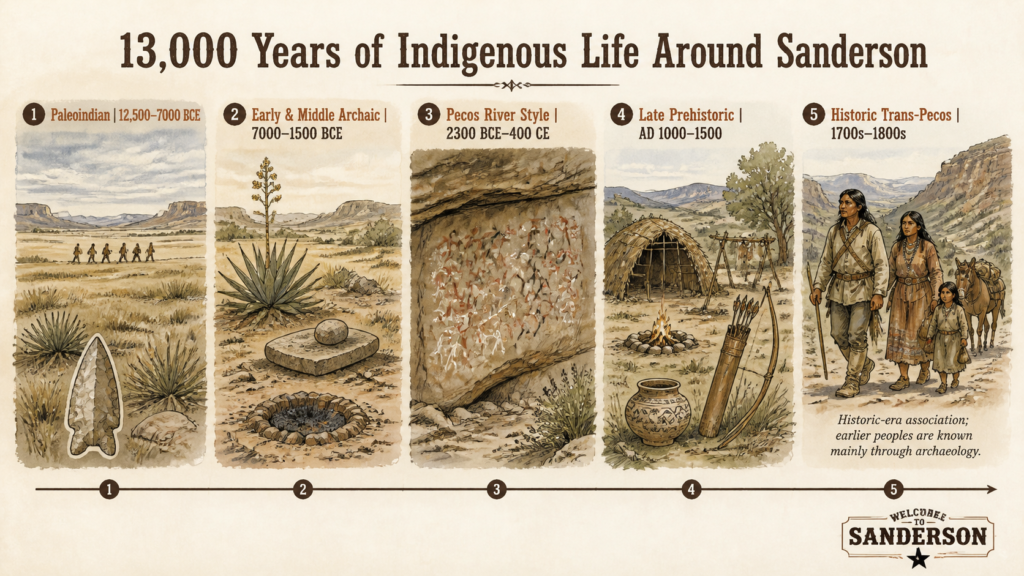
Timeline of Indigenous Peoples and Lifeways
The table below provides a practical overview of the major periods represented in the Sanderson, Terrell County, and nearby Lower Pecos region. The early entries identify archaeological periods and lifeways, not named tribes. Modern tribal names should not be applied to people who lived here thousands of years before written records.
| Approximate era | Who lived or traveled here? | What the evidence shows | Why this country mattered |
|---|---|---|---|
| Before 12,500 BCE | No confirmed local population record for Sanderson specifically | Human occupation of the broader region is still being studied. | Springs, river corridors, shelter caves, and game routes later made the region attractive for repeated human use. |
| 12,500–7000 BCE Paleoindian |
Small, mobile hunter-gatherer bands; not a documented modern tribe | Stone spear points and other tools associated with early hunting traditions. | Cooler and wetter conditions supported large game. People moved widely, following animals and seasonal water sources. |
| 7000–4000 BCE Early Archaic |
Mobile foraging communities | Camps, hearths, stone tools, and repeated use of rock shelters. | People increasingly relied on a broad diet of plants, small game, and locally available resources as climate and game patterns changed. |
| 4000–1500 BCE Middle Archaic |
Hunter-gatherer communities using canyons and springs repeatedly | Burned-rock middens, grinding areas, camps, burials, and early painted-rock traditions. | In a drier landscape, dependable water, edible plants, and protected shelters made canyon country especially important. |
| About 2300 BCE–400 CE Pecos River Style |
The ancient artists’ ethnic identities are unknown | Large, complex rock paintings in red, black, white, and yellow pigments. | Rock art likely expressed ceremonial beliefs, community knowledge, and sacred relationships to the landscape. |
| 1500 BCE–AD 1000 Late Archaic |
Hunter-gatherer groups; no securely documented tribal names | Larger midden sites, repeated camps, dart points, and plant-processing tools. | Wild plant foods were processed in earth ovens. Burned-rock middens are durable remains of those repeated cooking practices. |
| AD 1000–1500 Late Prehistoric |
Local foraging groups connected to wider regional changes | Bow-and-arrow technology, pottery in parts of the Trans-Pecos, and newer rock-art styles. | People continued hunting and gathering while adapting to new weapons, technologies, exchange networks, and social relationships. |
| AD 1500–1700s Protohistoric and early contact |
Several mobile groups; exact affiliations are often uncertain | Arrow points, temporary camp evidence, and historic-period rock art. | Spanish contact, trade, disease, raiding, settlement pressure, and shifting alliances transformed the region. |
| 1700s–1800s Apache era |
Primarily Mescalero Apache in the broader Trans-Pecos; Lipan Apache and other groups had ties to the wider region | Spanish, Mexican, U.S., and military-era records, together with later archaeological evidence. | The region offered game, agave and other plant foods, water pockets, travel routes, and protection in rugged canyon and mountain terrain. |
| 1800s onward Dispossession and town-building |
Indigenous peoples continued to exist, but access to customary homelands was increasingly restricted | Historical documents, archaeological sites, place names, and descendant-community history. | Military campaigns, ranching, railroads, and settlement reshaped the land. Sanderson became a railroad town in 1882. |
Burned-Rock Middens and Ancient Camps
One of the most common archaeological clues in West Texas is the burned-rock midden. These piles of cracked, fire-altered stone are the remains of repeated cooking activity, often associated with earth ovens. People heated rocks, covered food with them, and slowly cooked plant foods underground. Over many generations, discarded stones accumulated into large mounds.
Terrell County contains many burned-rock middens, as well as caves and rock shelters with darkened walls and ceilings that show long-term use by Indigenous people. These are not random piles of rock. They are evidence of meals prepared, resources processed, and family or community groups returning to useful places generation after generation.
The Rock Art of the Lower Pecos
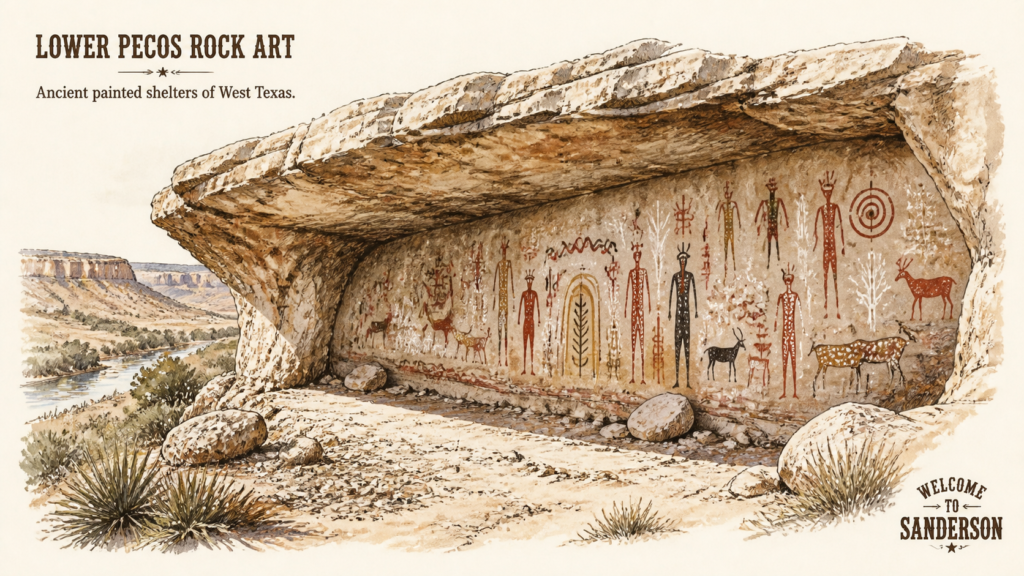
The nearby Lower Pecos Canyonlands contain one of North America’s most important concentrations of ancient rock art. More than 250 rock shelters in the Lower Pecos are known to contain painted images.
Some of the oldest and most elaborate paintings belong to what archaeologists call the Pecos River Style. Created by hunter-gatherers beginning more than 5,500 years ago, these murals use red, black, white, and yellow pigments. They include human-like figures, animals, weapons, plants, and abstract symbols.
These images were more than decoration. Researchers believe many were connected to ceremonial life, sacred stories, visions, and community knowledge. Although the exact meaning of each figure cannot be known with certainty, the art shows that the canyons and shelters of the region were places of deep cultural and spiritual importance.
Why Mescalero Apache History Matters
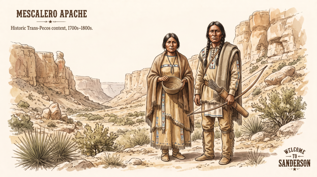
In the historic era—the period documented by Spanish, Mexican, and American sources—the broader Trans-Pecos region was most closely associated with the Mescalero Apache. Their homeland extended across parts of present-day West Texas, southern New Mexico, and northern Mexico. Lipan Apache communities and other Indigenous peoples also had connections to the wider West Texas region.
The Mescalero Apache were highly mobile and deeply knowledgeable about the mountains, basins, desert plants, game, and water sources of the Southwest. Their name is associated with the importance of agave, also called mescal, as a food resource.
It is important to be precise: not every ancient site near Sanderson can be identified as Mescalero Apache. The Mescalero are the principal named Indigenous people associated with the broader Trans-Pecos in the later historic period. The far older archaeological record belongs to many generations of people whose original names and identities were not recorded in written sources.
Sanderson’s Story Began Long Before the Railroad
Sanderson was founded in 1882 as a Southern Pacific Railroad division point, but the human history of the land around it reaches back many thousands of years. The railroad, ranching, and frontier eras are important chapters in local history, but they are not the first chapters.
The earlier story remains visible in archaeological sites across the region: hearths, cooking middens, stone tools, shelter caves, burials, and painted canyon walls. Together, they show a long record of people adapting to West Texas and making meaningful lives in a demanding but resource-rich landscape.
Long before Sanderson had a name, the surrounding desert, canyons, and springs were part of an Indigenous homeland. For at least 13,000 years, people found food, water, shelter, and meaning in the West Texas landscape.
Sources and Further Reading
- Texas Beyond History, Lower Pecos Canyonlands.
- Texas Beyond History, Archeology of the Lower Pecos Canyonlands.
- Texas Historical Commission and Texas State Historical Association resources on Terrell County and the Trans-Pecos.
- National Park Service, Mescalero Apaches, Fort Davis National Historic Site.